2026 AAGIS Conference Agenda

AAGIS 2026
Alamo Area GIS

2026 AAGIS Conference

DoubleTree by Hilton San Antonio Airport · Thursday, September 24
Location
DoubleTree by Hilton, San Antonio Airport
611 NW Loop 410, San Antonio, TX
Date
Thursday, September 24
Keynote
Richard Wade · State Geographic Information Officer, TxGIO
Hosted by
AAGIS Board

Thank you!

From the bottom of our hearts, the board of AAGIS thanks you for your support and attendance. This conference keeps growing, and we couldn’t do it without amazing Alamo Area GIS Professionals like yourselves. AAGIS is a special group of people, and we’re honored to serve you as your board. Thank you!
Sara Mendiola
President
Matt Kitchen
Vice President
Robert McGarraugh
Treasurer
Lauren Cardona
Secretary
Victor Galvan
Historian
Mark Tijerina
Operations Coordinator
Arindam Ghosh
Volunteer Coordinator
Emmerson Avila
Jr. Historian
Featured Sponsors
AG3
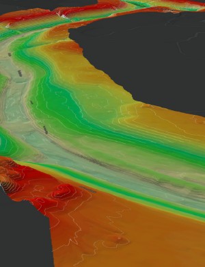
AG3’s Geospatial Division brings over 100 years of combined surveying and geospatial experience. The team includes Registered Professional Land Surveyors, LIDAR and Survey Technicians, Pilot Certified UAV personnel, GIS analysts, and survey crews — all focused on delivering quick, accurate data.
Services
Surveying
Global Positioning System (GPS) Survey
Boundary Survey
Utility Survey
Topographic Survey
Tree Survey
Right-of-Way & Easement Survey
Civil Design
Construction Staking & Layout
Land Title Survey (ALTA/ACSM and TSPS Cat. 1A)
Geospatial
Lidar Survey
UAV (Drones) / Photogrammetry
Transmission Lines
Bathymetric
GIS
Geographic Information System (GIS) Analysis
As-built Survey Including Underground Assets
Large Scale GIS Database
Visit ag3-group.com
HUB · DBE · SCTRCA · TxDOT Certified
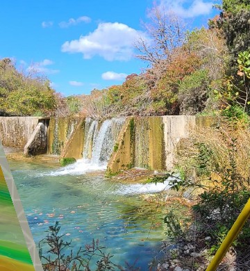
LIDAR point cloud survey Survey equipment in the field
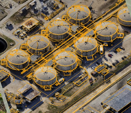
Aerial view of industrial storage tanks
PAPE–DAWSON
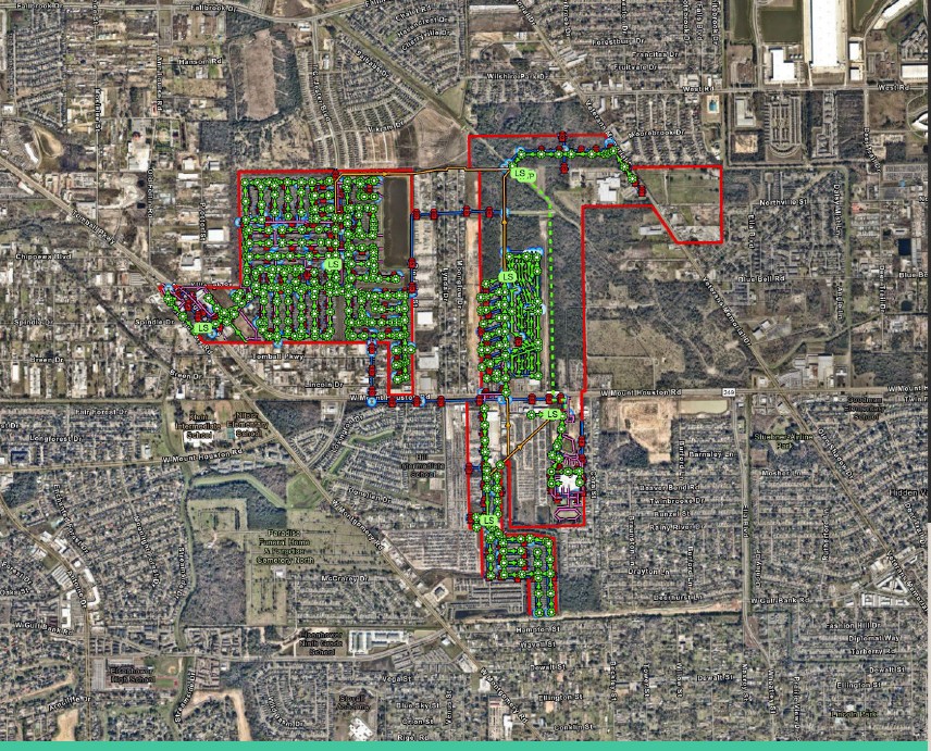
Pape-Dawson provides clients with comprehensive GIS services that streamline projects, strengthen decision-making, and enhance communication. They add measurable value through interactive dashboards, real-time data collection applications, powerful visualization tools, and customized web-based platforms tailored to fit your project’s unique needs.
Services
GIS mapping, visualization, 3D modeling & VR experiences
GIS-based web & mobile applications
Interactive GIS dashboards & data visualization
Planning & zoning GIS overlays
Flood risk & severity mapping
Utility & infrastructure GIS management
Asset & project tracking solutions
Real-time GIS data collection
Drone data integration & GIS mapping
Public engagement & citizen involvement
Visit pape-dawson.com
210.375.9000
2000 NW Loop 410, San Antonio, TX
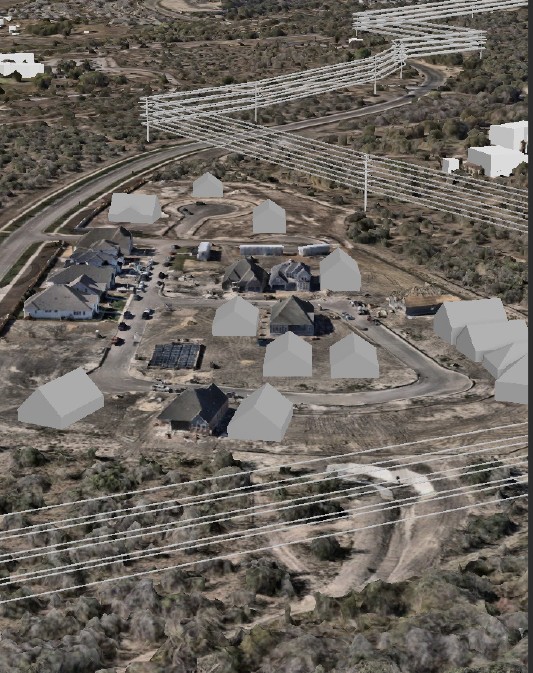
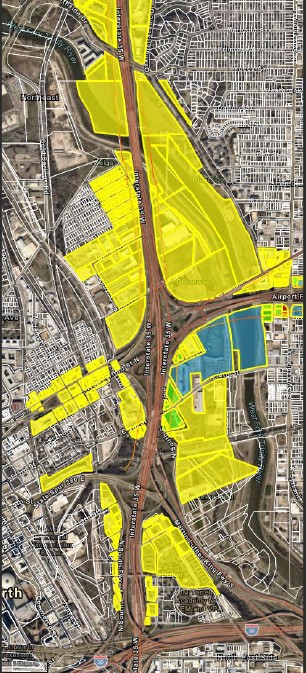
Aerial GIS survey imagery Zoning overlay map
Utility network GIS map

Agenda

All-day Sponsor Gallery — visit every table for a raffle entry. Tap any session to see the speaker’s bio and abstract.
8:30 AM
Registration Check-in
9:30 AM
Opening Remarks
10:00 AM
11:00 AM
Noon
2:15 PM
3:15 PM
Lightning Talks · Texas Ballroom E
Lightning Talks · Lone Star East
4:15 PM
Trivia “Mappy” Hour New!
Featuring live music by Wally Robles

Speakers

Keynote and session speakers — tap a card for the full bio.

Lightning talk speakers

Sponsors

Platinum Sponsors

Pape-Dawson
AG3 Group, LLC
Gold Sponsors
Bad Elf, LLC
Esri
EagleView
Texian Geospatial
G4 Geomatic Resources
Silver Sponsors
AllTerra
NCTech
ERIS
Adams Environmental, Inc.
Close to Home
TeachMeGIS.com